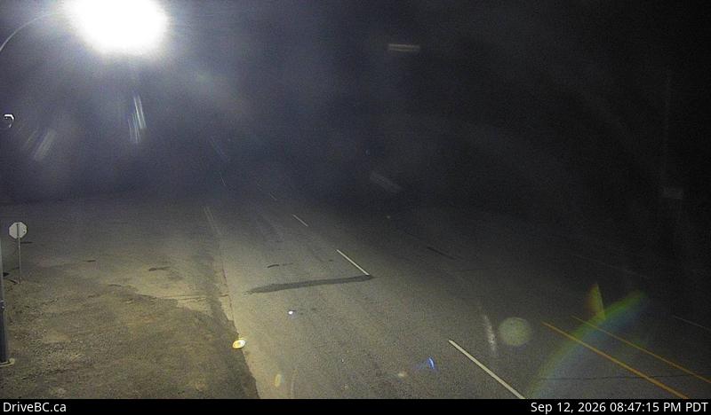
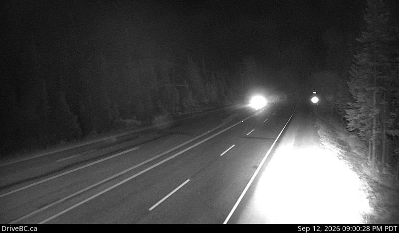
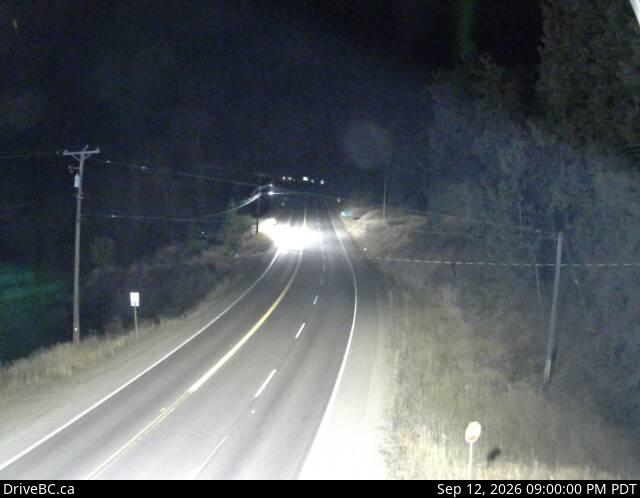
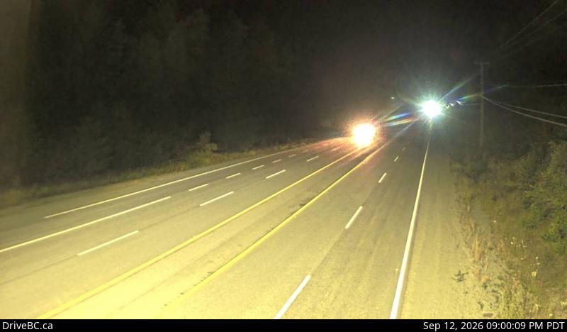
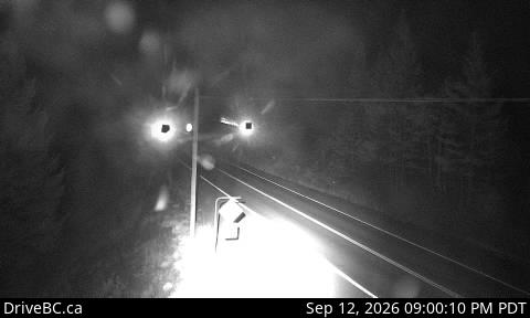
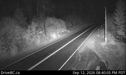
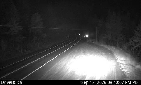
Highway 3 — Hope-Princeton Live Highway StatusManning Park · Allison Pass · Princeton · Keremeos
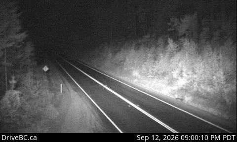
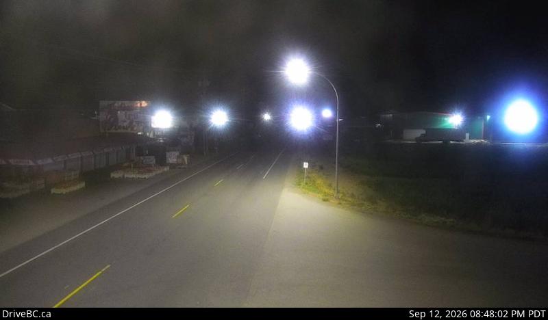
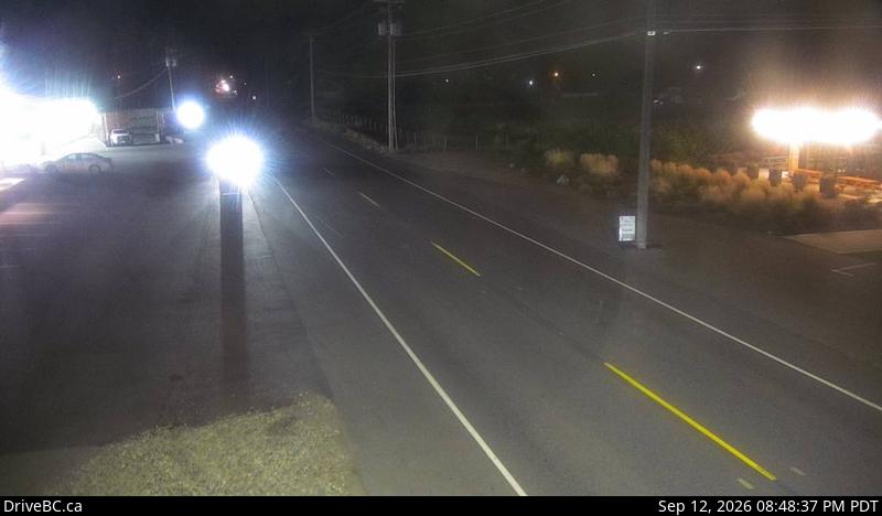
Live open, delayed, and closed status for BC Highway 3 between Hope and Princeton — pulling official DriveBC data every 5 minutes and covering the Hope Slide, Manning Park, Allison Pass, Sunday Summit, Princeton, and Keremeos.
Free alerts the moment Highway 3 (Hope-Princeton) closes
FreeFree, year-round closure alerts — no account, no password, unsubscribe anytime.
Push alerts on this device
Instant notification even when the tab is closed.
Active incidents
Driver reports
No driver reports yet. Official DriveBC data is the source of truth above.
FAQ
What is the Hope-Princeton?
The Hope-Princeton is the section of BC Highway 3 between Hope and Princeton, climbing over Allison Pass through Manning Park. It's a key east-west route across southern BC, connecting the Fraser Valley to the Similkameen and Okanagan.
How current is this information?
The status here is refreshed from DriveBC's official Open511 feed every 5 minutes. Official data can lag fast-moving incidents by a few minutes, which is why we also show driver reports below the official status.
What's the alternate route when Highway 3 is closed?
If Highway 3 closes between Hope and Princeton, the usual alternate is Highway 5 (the Coquihalla) between Hope and Merritt, then Highway 5A south to Princeton — significantly longer but paved and open year-round. In winter, always check DriveBC before committing to a detour; the Coquihalla can be closed at the same time.
Is this site free?
Free to check, free email alerts, no account required. We run a small number of hand-placed local sponsorships — no programmatic ads, no retargeting pixels, no third-party tracking scripts, ever.
Where does this data come from?
DriveBC's public Open511 API (api.open511.gov.bc.ca). We filter to events on the Highway 3 corridor between Hope, Manning Park, Princeton, and Keremeos, then classify each one as open, delayed, or closed.
Why might one direction show differently than the other?
Incidents like single-lane closures, construction, crashes, or wildfires often only affect one direction of travel. When eastbound (toward Princeton) and westbound (toward Hope) don't match, we split the banner so you see each direction's status independently.